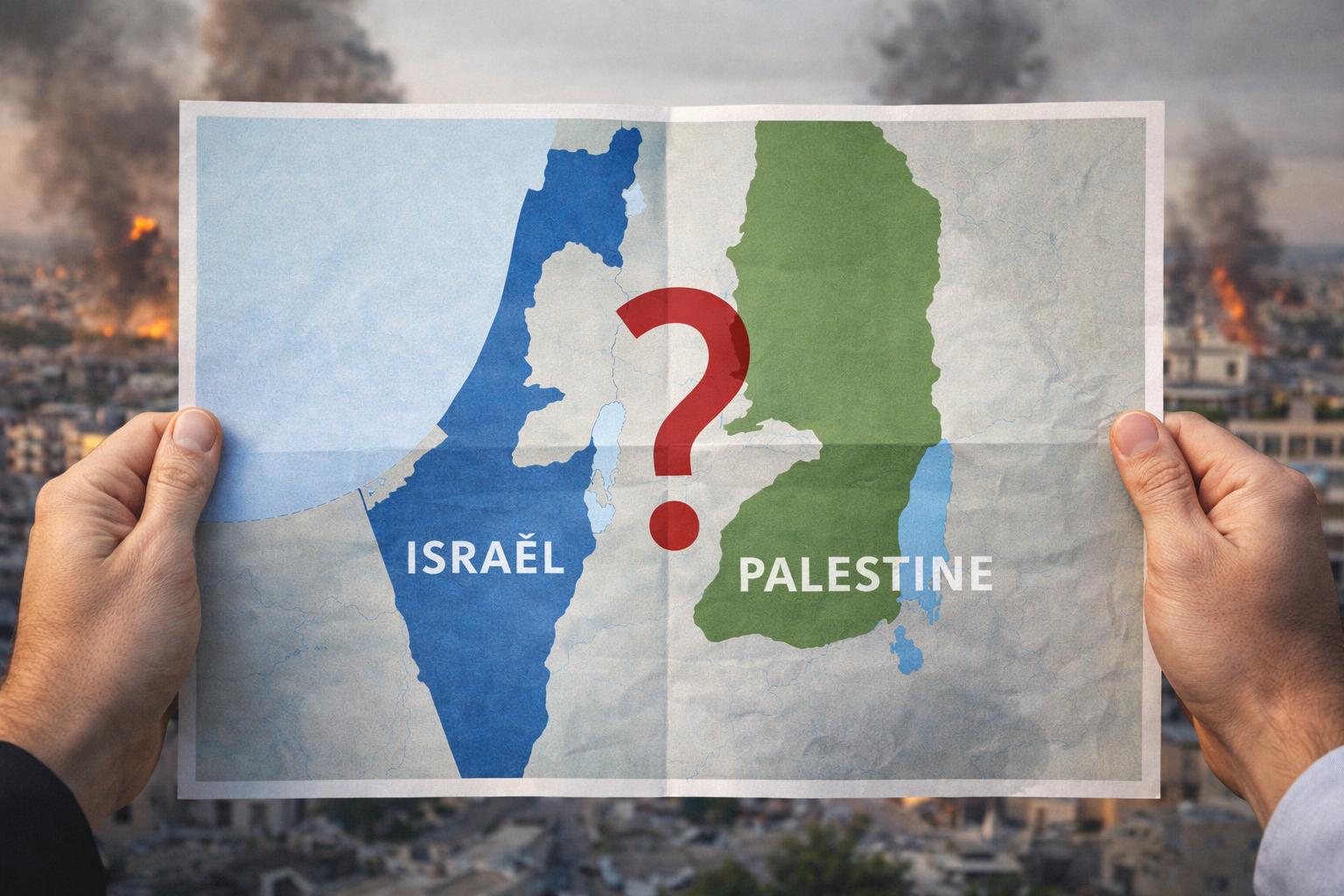
Palestine is often described as a territory that was amputated.
What is almost always omitted is what was amputated first.
Before 1947.
Before Israel.
Before the UN.
Eighty percent of Mandatory Palestine became Jordan.
In 1921–1922, the British separated Transjordan from the Palestinian Mandate, handed it to the Hashemites, and prohibited any Jewish settlement east of the Jordan River (if that is not segregation, what is?).
The result: an Arab state was created out of Palestine long before any Israeli–Arab war.
In 1946, Jordan became independent.
In 1948, it annexed the West Bank.
From 1948 to 1967, Palestinians were Jordanian citizens.
No one spoke of “occupation.”
No one demanded an independent Palestinian state.
Then came 1967.
Jordan lost the West Bank.
And suddenly, history was rewritten.
Palestine now existed only west of the Jordan River.
Jordan vanished from the narrative.
The map shrank.
So did the memory.
Why this silence?
Because recalling Jordan undermines the slogan of a “people without a state.”
Because it complicates a narrative that has become binary, emotional, and easily exportable.
Because even Jordan does not want to reopen this Pandora’s box.
👉 This conflict is not only territorial.
It is narrative.
And as long as the debate continues over a truncated map,
no solution will ever fit on the full one.